
Hurricane Isaias bore down on the northern Gulf Coast on Friday with 110 mph sustained winds and a storm surge forecast that the National Hurricane Center described in blunt terms: six to nine feet of water from the Alabama-Florida line east to Grayton Beach, arriving with large and dangerous waves.
The 7 a.m. CDT intermediate advisory from the hurricane center in Miami carried the headline "ISAIAS ON THE CUSP OF MAJOR HURRICANE STRENGTH," along with a second line telling people inside the warning areas that preparations "should be completed within the next few hours." Forecaster Berg wrote that Isaias was "likely to become a major hurricane this morning and remain a dangerous hurricane at landfall this evening or tonight."
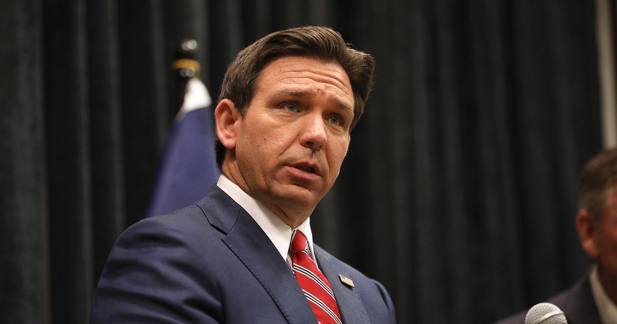
Gov. Ron DeSantis was scheduled to brief reporters at 8:30 a.m. ET from the Escambia County public safety building alongside Jared Perdue, executive director of the Florida Division of Emergency Management. The state, by then, had already moved: seven Panhandle and Big Bend counties ordered evacuations Thursday, and state agencies had staged the kind of supply stockpile that Florida has learned to pre-position rather than scramble for after the fact.
What the Hurricane Center Actually Said
At 7 a.m. CDT Friday the center of Isaias sat near 27.0 north, 87.7 west, about 245 miles south of Pensacola and 170 miles south-southeast of the mouth of the Mississippi River, moving north-northeast at 15 mph. Minimum central pressure, measured by dropsonde, was 958 millibars. The 110 mph wind figure came from Air Force Reserve Hurricane Hunter aircraft.
A storm surge warning ran from the mouth of the Mississippi River to the Suwannee River. The hurricane warning covered Ocean Springs, Mississippi, east to the Bay-Gulf county line in Florida. Beyond the 6-to-9-foot zone, the center forecast 4 to 7 feet from Grayton Beach to Indian Pass, 4 to 6 feet from Indian Pass to Steinhatchee and from Dauphin Island to the state line, and 3 to 5 feet in Mobile Bay.
"The deepest water will occur along the immediate coast in areas of onshore winds, where the surge will be accompanied by large and dangerous waves," the advisory said.
Rainfall totals of 4 to 8 inches were forecast for southern Alabama, the Florida Panhandle and Big Bend, and southwest Georgia, with the advisory warning that "localized totals up to 15 inches are possible, particularly within banding across the Florida Panhandle and Big Bend." Tornado risk was expected to begin late Friday afternoon along coastal Alabama and the Panhandle and shift into Georgia and the Carolinas on Saturday.
One note of caution on the coverage: Breitbart reported that the hurricane center "updated its forecast for Isaias to a Category Three storm bringing winds up to 100 mph." The 7 a.m. advisory said 110 mph and placed the storm only on the cusp of major hurricane status. Category 3 was a forecast, not yet a fact, at the time of these reports, and the expectation of a Category 3 landfall was likewise not an official classification. The hurricane center said only that Isaias would remain a dangerous hurricane at landfall, and the landfall point and timing were not confirmed, with the warning area stretching from Ocean Springs to the Bay-Gulf county line.
What Florida Staged Before the Water Arrived
According to News4JAX, which previewed the Friday briefing and summarized the governor's remarks a day earlier, the state had more than 1,000 generators ready, along with 500,000 gallons of gasoline, a million gallons of diesel, more than 3 million MREs and 1.1 million bottles of water. More than 6,000 utility workers were on standby. The Florida Department of Transportation staged roughly 260 pieces of heavy equipment and 100 pumps.
Tolls were waived on the Garcon Point Bridge in Santa Rosa County and on Spence Parkway and the Mid-Bay Bridge in Okaloosa County. Evacuation orders issued Thursday covered Bay, Escambia, Okaloosa, Santa Rosa, Walton, Franklin and Gulf counties, generally Zones A and B, barrier islands and low-lying ground.
In those Thursday remarks, DeSantis told residents to assume they would lose power, to stock water, fuel and nonperishable food, and to run generators outdoors because of carbon monoxide. He also flagged a risk that gets overlooked after the wind dies down: ground already saturated before the storm means inland flooding well away from the surge zone. Those figures and warnings come from the News4JAX account; no transcript from the governor's office was available as of this writing.
What Comes Next
The hurricane center's next complete advisory was set for 10 a.m. CDT Friday. The open questions are the ones that always matter most once a storm reaches the coast: where the eye crosses, what category it carries, outage counts across the Panhandle and lower Alabama, and whether federal emergency declarations follow. Saturday's threat shifts inland, to tornadoes across Georgia and the Carolinas and to flash and river flooding in the Southern Appalachians.
 Best Christmas Gift: Here Are 27+ Of The Coolest Gifts For 2026
 Akusoli Insoles: Arch Support and Shock-Absorbing Gel for Tired Feet
 Retirees On SS Are Due A Large Surprise This Week
 Drivers: These ZIP Codes Pay the Most for Car Insurance (Is Yours on the List?)
 A Beverly Hills Plastic Surgeon Shares His At-Home Routine for Fine Lines
 Social Security Changes Coming in 2026 That Impact Everyone



0 Comments
Be the first to comment.